Mappa interattiva del percorso
Esplora le tappe di questo viaggio. Usa la rotellina del mouse o due dita per ingrandire e tocca i segnaposto.
La linea rossa collega i giorni del tour. Se una strada o un sentiero non è disponibile, il collegamento è schematico e non adatto alla navigazione. Routing powered by Mapbox ↗
Foto di questo viaggio
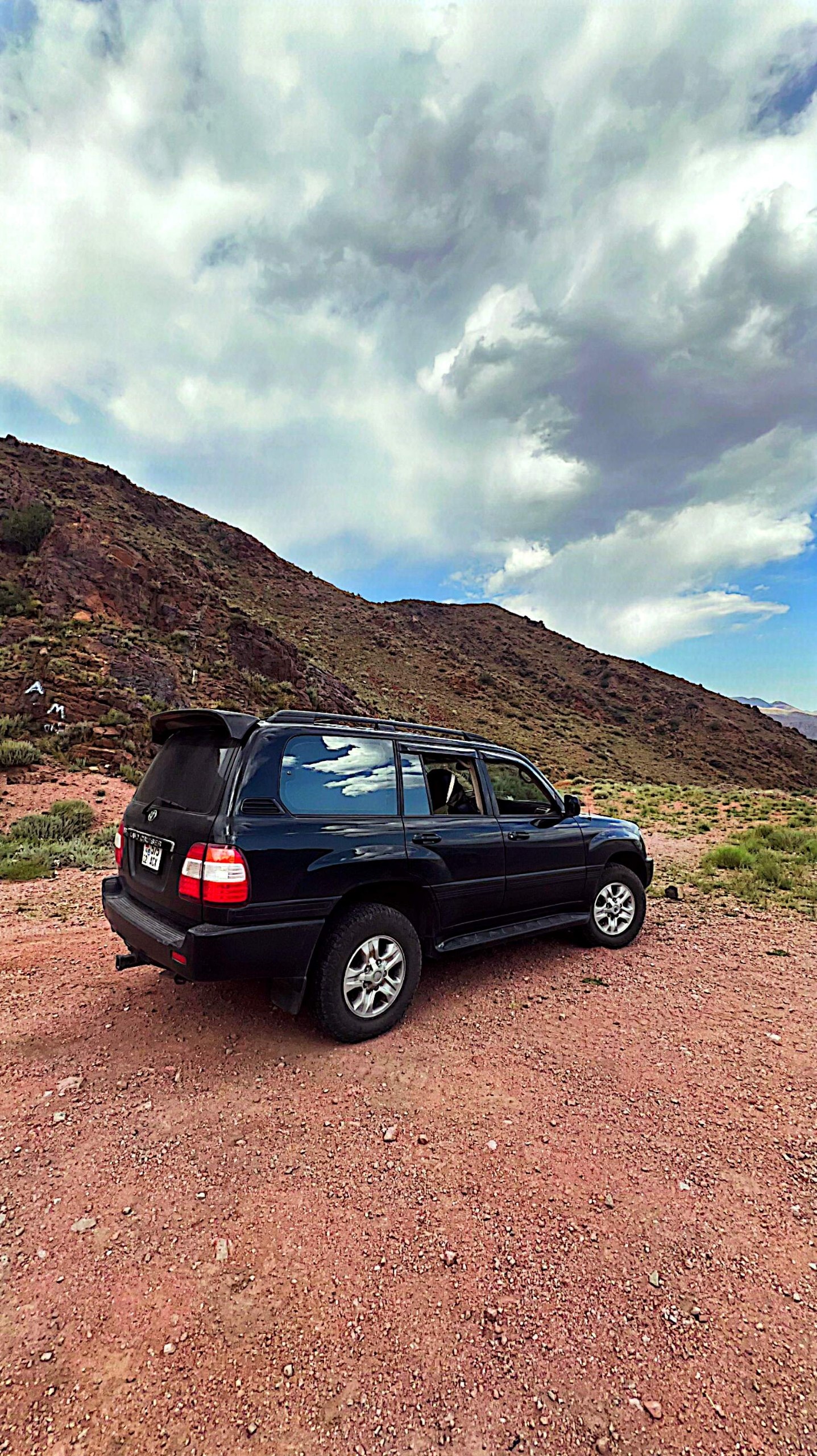
Il Pamir in 7 giorni con una distanza totale di 1.650 km.
Dushanbe – Khorog – Wakhan – Murghab – Karakul – Osh attraverso il Corridoio del Wakhan
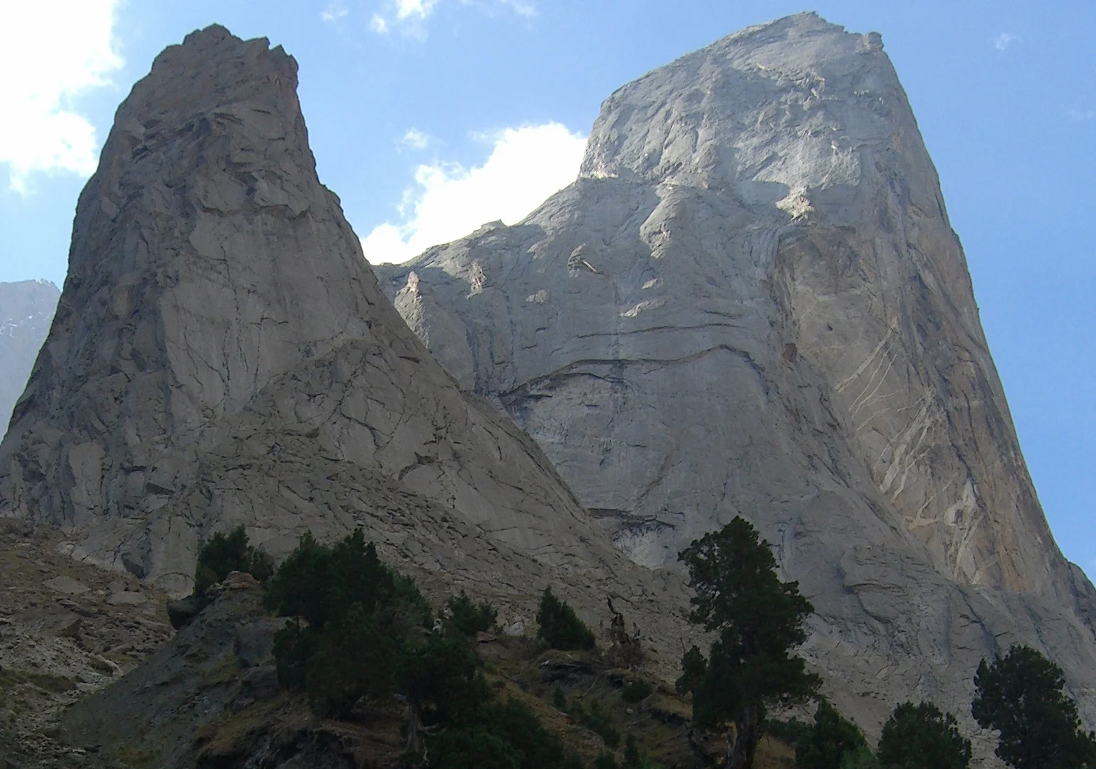
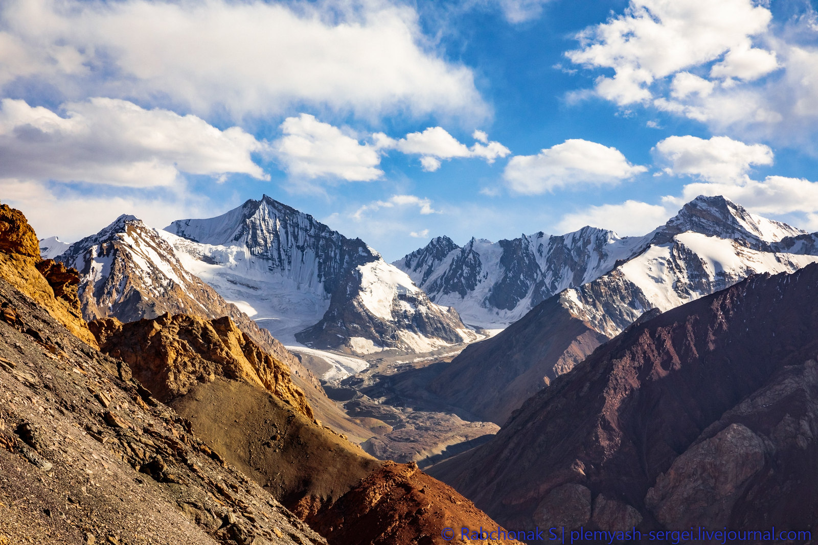
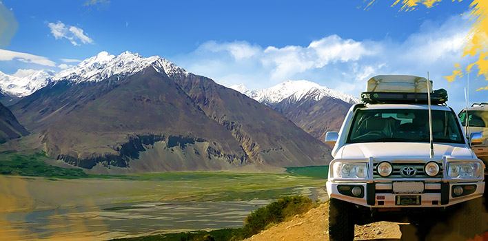
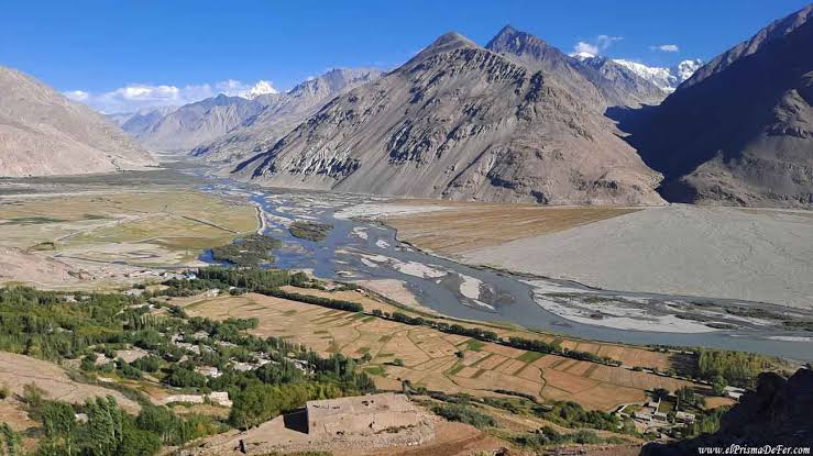
Cosa vedrai: il fiume Panj e le sue gole lungo il confine afghano / la famosa valle del Wakhan / le antiche fortezze di Kah-Kaha e Yamchun (III–I secolo a.C.) / petroglifi / gli spettacolari paesaggi di Yashilkul / l’altopiano del Pamir
Cosa potrai apprezzare: siti storici / bagni nelle sorgenti termali / straordinari panorami dell’Hindu Kush afghano / ospitalità pamira / possibilità di osservare anatre e oche indiane (Anser indicus) nel loro habitat naturale.
Altitudini sul livello del mare durante la giornata: inizio della giornata – 780 m a Dushanbe, punto più alto – 2.126 m al passo Shurobod, fine della giornata – 1.295 m a Kalai-Khumb.
Itinerario
Kalai-Khumb – Khorog. 280km 8-10 hours of driving, the road is not so good.
Khorog City Tour: Botanical Garden, Historical Museum, City Park and Visit Tourism Information Center.
Overnight in a hotel or homestay in Khorog. 250 km.
Altitudes above sea level during the day: beginning of day – 1295m in Kalaikhumb, end of the day – 2100m in Khorog.
Khorog – Wakhan Corridor/Zong. 246km 10-12 hours of driving.
Yamchun fortresses, Bibi Fotima hot-spring, pre-Islamic shrines, Museum of Sufi Muboraki Wakhoni, astronomer and scholar of the 19 th century and if there enough time go for trekking to Langar petroglyphs. Overnight in a homestay in Langar or Zong village.
Altitudes above sea level during the day: beginning of day – 2100m in Khorog, highest point –Yamchun 3200m, end of day – Langar 3000m.
Zong (Wakhan)–Bulunkul/Yashikul lakes–Alichur-Murghab. 275km 10-12 hours of driving.
Altitudes above sea level during the day beginning of day – Langar 2900m, highest point – 4344 m on Khargush pass, end of day – 3630m
in Murgab.
Murghab–Modian-Modian.
from a different perspective. Picnic lunch on the shade of rare trees – on Murgab Riverbank. In the evening driving back to Murghab, in some parts go by walk, landscape so amazing. Also, it is possible to stay in tents close to the Murghab River. Otherwise overnight in a guesthouse in Murghab. 80km
Altitude above sea level during the day: beginning of the day – 3630m Murghab, in Madian village – 3500m.
Murghab – Karakul village. 210km 8-9 hours of driving.
Continue driving to Karakul village via the highest point of the Pamir Highway, Ak-Baital pass (4656 m). Short stop near the fist Tsarist Russian military base in the Pamirs. In the afternoon hiking along the Karakul lake. Overnight in a homestay or yurt in Karakul village.
Altitudes above sea level during the day: beginning of day – 3630m in Murgab highest point – 4656m on Ak-Baital pass, end of day – 3930m in Karakul.
Karakul – Sary Tash – Osh 294km 8-10 hours of driving.
Altitudes above sea level during the day: beginning of day – 3930m in Karakul highest point – 4282m on Qyzyl Art pass, end of the day – 950m in Osh.
Incluso
Trasporto (veicolo 4×4), carburante incluso
Pasti, inclusi 1,5 litri di acqua potabile a persona al giorno
Sistemazione, inclusa 1 notte a Dushanbe e 1 notte a Osh
Biglietti d’ingresso (sorgenti termali, musei, Giardino Botanico e Parco Nazionale)
Permesso GBAO
Spese amministrative, tasse incluse
Non incluso
Assicurazione
Servizio di guida
Supplemento per camera singola
Tutte le altre spese personali
Biglietti aerei
Bevande alcoliche
Spese personali
Altre avventure
Nature
Jeep tour
Tour di trekking nella Patagonia asiatica, montagne di Karavshin
Jeep tour
La tua prossima storia inizia qui.
Dicci quando e dove vuoi andare.