← Zurück zu ReisenOsh, Kyrgyzstan · Jeep tour

Klassische Pamir-Tour mit Wakhan

KYRGYZ ADVENTURE TRIP

Interaktive Routenkarte

Entdecken Sie die Stationen dieser Reise. Mit dem Mausrad oder zwei Fingern zoomen und Marker auswählen.

Interaktive Karte wird geladen …
Reiseroute
Tage mit erfassten Stationen: 7 / 7

Die rote Linie verbindet die Reisetage. Wenn keine Straße oder kein Weg berechnet werden kann, wird die Verbindung schematisch angezeigt und ist nicht für Navigation geeignet. Routing powered by Mapbox ↗

Dauer7 Tage
SchwierigkeitMedium
RegionOsh, Kyrgyzstan
HIGHLIGHTS DER TOUR
Pamir in 7 Tagen mit einer Gesamtdistanz von 1.650 km.
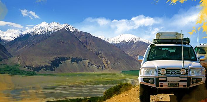
Duschanbe – Khorog – Wakhan – Murghab – Karakul – Osh durch den Wakhan-Korridor
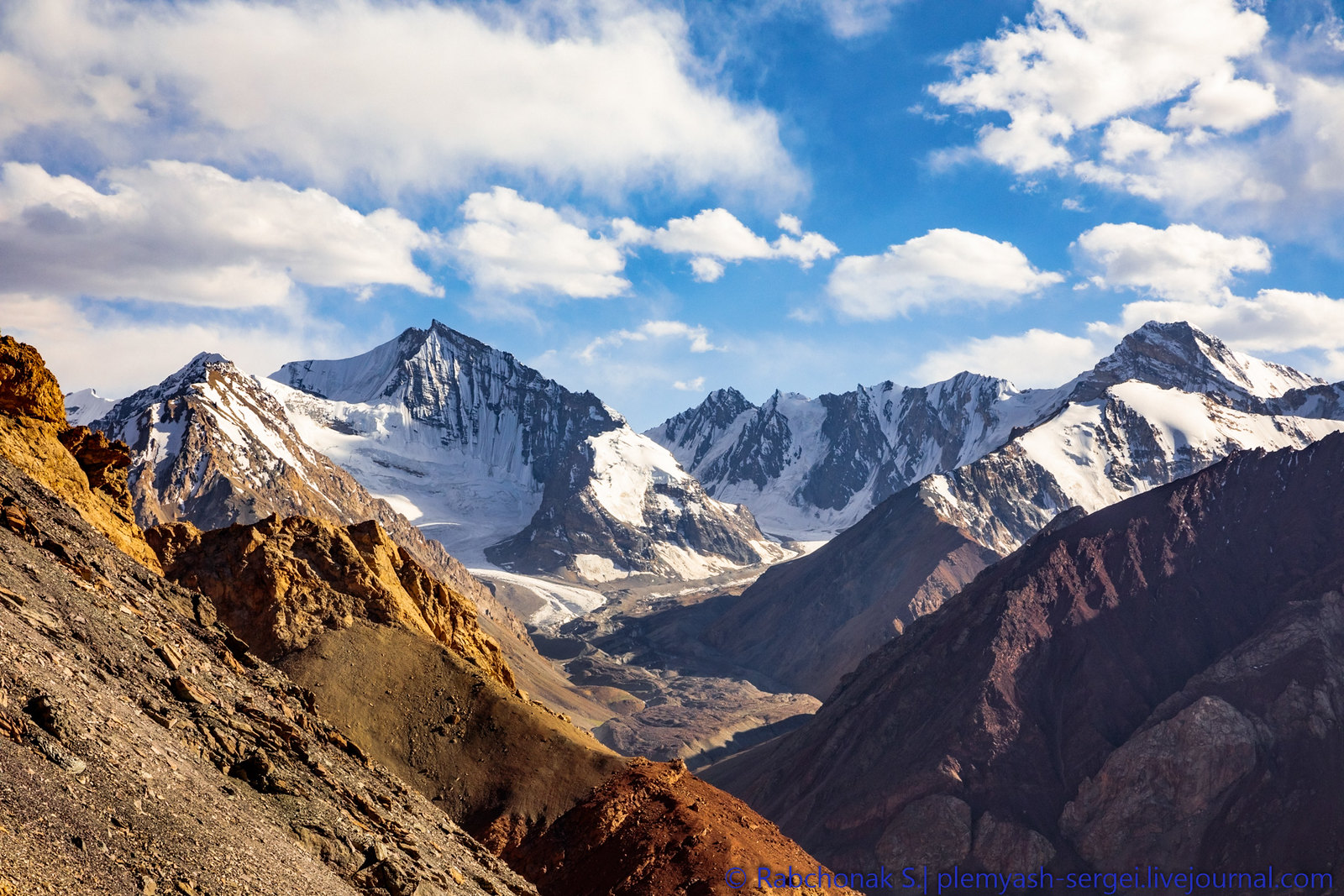
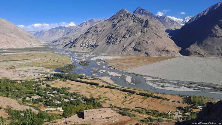
Was Sie sehen werden: den Fluss Pandsch und seine Schluchten entlang der afghanischen Grenze / das berühmte Wakhan-Tal / die antiken Festungen Kah-Kaha und Yamchun (3.–1. Jahrhundert v. Chr.) / Petroglyphen / die fantastische Landschaft von Yashilkul / das Pamir-Hochplateau
Was Sie genießen werden: historische Stätten / Baden in heißen Quellen / beeindruckende Ausblicke auf den afghanischen Hindukusch / pamirische Gastfreundschaft / die Möglichkeit, Enten und Streifengänse (Anser indicus) in ihrem natürlichen Lebensraum zu beobachten.
Höhen über dem Meeresspiegel im Tagesverlauf: Tagesbeginn – 780 m in Duschanbe, höchster Punkt – 2.126 m am Shurobod-Pass, Tagesende – 1.295 m in Kalai-Khumb.

Reiseverlauf

Tag 1

Dushanbe – Kalai-Khumb. 355km 5-8 hours of driving including stops.

Meeting with a driver at a hotel/guest-house in Dushanbe and heading to the Pamirs via Kulyab. On the way enjoy the view of Nurek lake dam and discover Hulbuk fortress and museum in Vose. Overnight in a home-stay in Kalai-Khumb town. 355km
Tag 2

Kalai-Khumb – Khorog. 280km 8-10 hours of driving, the road is not so good.

Departing Kalai-Khumb (Darvaz) and heading to Khorog. On the way enjoy the view of the Afghan villages along the Panj (Oxsus) River, in some places they are so close. Short stop in Porshinev at the monument of Nasir Khusraw, one of the great poets of Persian language and an important Muslim philosopher.

Khorog City Tour: Botanical Garden, Historical Museum, City Park and Visit Tourism Information Center.
Overnight in a hotel or homestay in Khorog. 250 km.

Altitudes above sea level during the day: beginning of day – 1295m in Kalaikhumb, end of the day – 2100m in Khorog.
Tag 3

Khorog – Wakhan Corridor/Zong. 246km 10-12 hours of driving.

After breakfast heading to Ishkashim. On the way short stop to soak in Garm-Chashma hot spring and watch from distance Kuhi La’l ruby mines. Driving to Wakhan Corridor. Visiting the ruins of Kah-Kaha and
Yamchun fortresses, Bibi Fotima hot-spring, pre-Islamic shrines, Museum of Sufi Muboraki Wakhoni, astronomer and scholar of the 19 th century and if there enough time go for trekking to Langar petroglyphs. Overnight in a homestay in Langar or Zong village.

Altitudes above sea level during the day: beginning of day – 2100m in Khorog, highest point –Yamchun 3200m, end of day – Langar 3000m.
Tag 4

Zong (Wakhan)–Bulunkul/Yashikul lakes–Alichur-Murghab. 275km 10-12 hours of driving.

Driving to Bulunkul, coldest place in Tajikistan, along Pamir River via Khargush Pass 4344m. Drive to Yashilkul (Green) lake to enjoy the beauty of the lake. Driving to Alichur through Sasykul and Tuzkul lakes, to observe and see beautiful landscape. In the afternoon continue driving to Murghab. Overnight in a homestay/hotel in Murgab.

Altitudes above sea level during the day beginning of day – Langar 2900m, highest point – 4344 m on Khargush pass, end of day – 3630m
in Murgab.
Tag 5

Murghab–Modian-Modian.

Drive Murghab-Madian valley: enjoying the Eastern Pamir landscape
from a different perspective. Picnic lunch on the shade of rare trees – on Murgab Riverbank. In the evening driving back to Murghab, in some parts go by walk, landscape so amazing. Also, it is possible to stay in tents close to the Murghab River. Otherwise overnight in a guesthouse in Murghab. 80km

Altitude above sea level during the day: beginning of the day – 3630m Murghab, in Madian village – 3500m.
Tag 6

Murghab – Karakul village. 210km 8-9 hours of driving.

Departing Murghab and driving to Rangkul and Shorkul lakes. Good chance to see the rare Indian goose (Anser Indicus). In the afternoon heading towards the biggest lake in Tajikistan – Karakul (‘Black lake’).

Continue driving to Karakul village via the highest point of the Pamir Highway, Ak-Baital pass (4656 m). Short stop near the fist Tsarist Russian military base in the Pamirs. In the afternoon hiking along the Karakul lake. Overnight in a homestay or yurt in Karakul village.


Altitudes above sea level during the day: beginning of day – 3630m in Murgab highest point – 4656m on Ak-Baital pass, end of day – 3930m in Karakul.
Tag 7

Karakul – Sary Tash – Osh 294km 8-10 hours of driving.

Departing Karakul and heading to Sary-Tash of Kyrgyzstan. On the way short stop to see the Karaart geoglyphs (8 th -3 rd century BC). Crossing Tajik-Kyrgyz border, takes about 1.5 hour. After lunch discovering the village of Sary-Tash. If there are no clouds on the horizon enjoying the view of Peak Sino (former Lenin Peak) 7134m. Afternoon drive to Osh through villages and two passes, landscape is different.


Altitudes above sea level during the day: beginning of day – 3930m in Karakul highest point – 4282m on Qyzyl Art pass, end of the day – 950m in Osh.

Inklusive

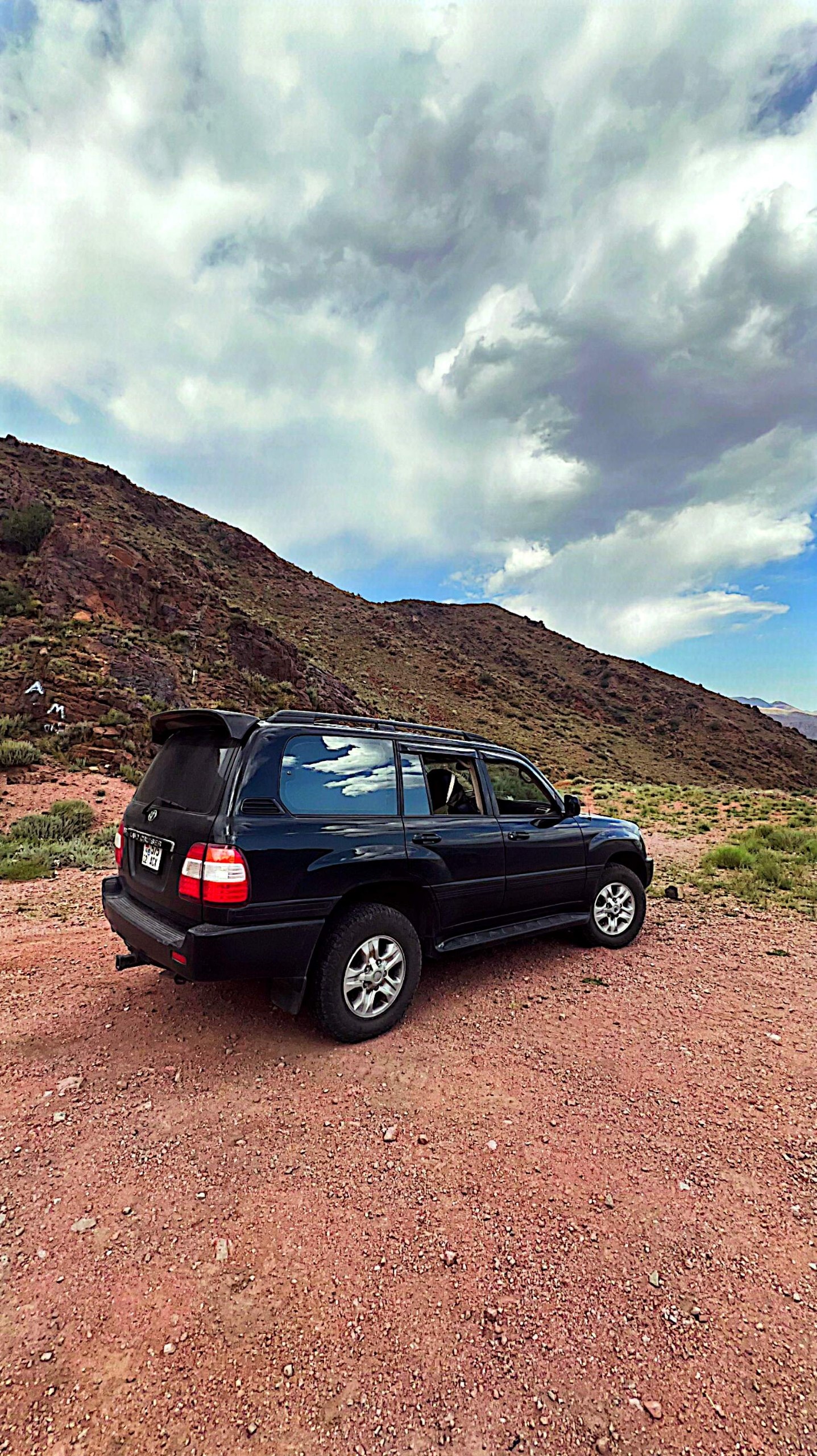
Transport (4×4-Fahrzeug), einschließlich Kraftstoff
Verpflegung, einschließlich 1,5 Liter Trinkwasser pro Person und Tag
Unterkunft, einschließlich 1 Nacht in Duschanbe und 1 Nacht in Osh
Eintrittsgebühren (heiße Quellen, Museen, Botanischer Garten und Nationalpark)
GBAO-Genehmigung
Bürogebühr, einschließlich Steuern

Nicht inklusive

Versicherung
Reiseleiterservice
Einzelzimmerzuschlag
Alle sonstigen persönlichen Ausgaben
Flugtickets
Alkoholische Getränke
Persönliche Ausgaben

KEEP EXPLORING

Weitere Abenteuer

KYRGYZ ADVENTURE TRIP

Deine nächste Geschichte beginnt hier.

Sag uns, wann und wohin du reisen möchtest.

Anfrage senden ↗